Hurricane Lane: What We’re Watching Out For Today
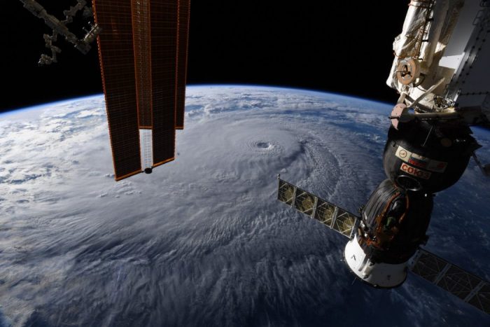
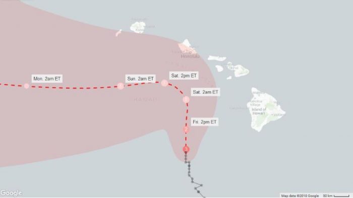
As of 10 a.m. EST, Hurricane Lane is slowly drifting north towards the Hawaiian Islands. Here are three things to watch for today:
- Strength of the Storm: Will winds begin to drop from Category 3 to Category 2, and maybe even lower over the next few days?
- Storm Track: Will Hurricane Lane continue to turn westward – as predicted – and thereby miss a direct hit on the islands?
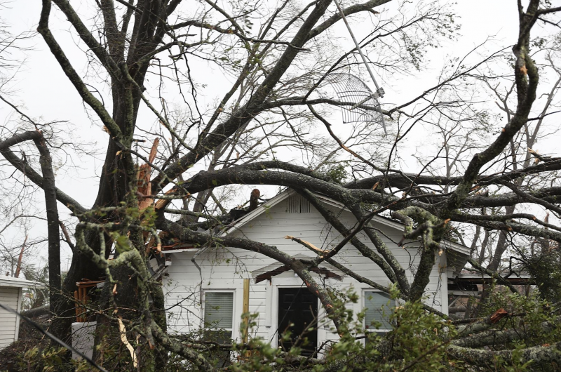
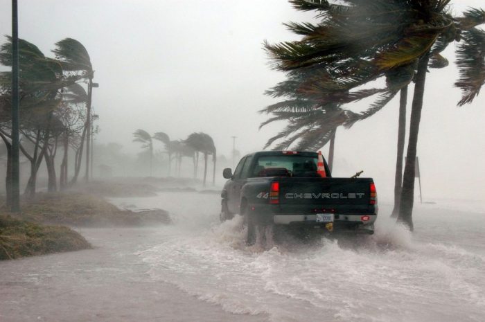
Source: CNN - Rainfall Amounts, Storm Surges and Massive Flooding: As the storm slows – and maybe even stalls – the risk of enormous amounts of rain and storm surge increase. Although news coverage tends to focus on wind velocity, most hurricane-related death and destruction results from rain and storm surge. Some areas are expected to receive as much as 30 inches of rain, and storm surges could exceed 5 feet. See our recent blog on storm surge here.
How can you help? As the day progresses, the Center for Disaster Philanthropy will be in touch with donors and nonprofit organizations in Hawaii and on the mainland to learn how we can help. Stay tuned.

Robert G. Ottenhoff
More like this
The Threat of Storm Surge