FEMA Offers New Tool for Disaster Philanthropy
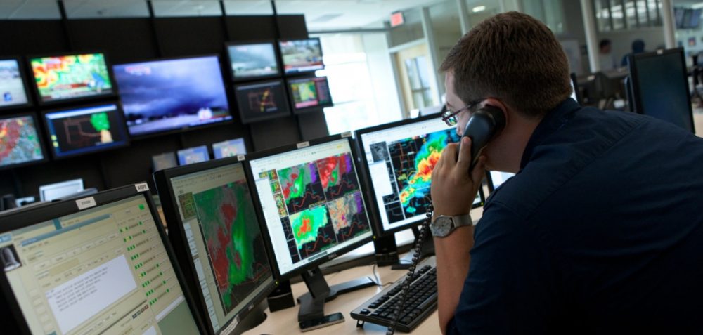
The Federal Emergency Management Administration (FEMA) recently launched a data visualization tool that details disaster declarations and grants by state, county, and tribal nation. For the disaster philanthropist, it is an incredible resource. I spent time this morning walking through the states where I have lived (Arizona, California, Washington, Massachusetts, and Tennessee) to visually appreciate […]
The Federal Emergency Management Administration (FEMA) recently launched a data visualization tool that details disaster declarations and grants by state, county, and tribal nation. For the disaster philanthropist, it is an incredible resource.
I spent time this morning walking through the states where I have lived (Arizona, California, Washington, Massachusetts, and Tennessee) to visually appreciate the time sequence of disasters across each state, the type of disaster faced by each state (fire in AZ / flood in TN), and then appreciate the FEMA dollar flow to each state or affected county or tribal nation since 1953. I then walked through the visualization tools for several states that had faced severe disasters – Florida, Texas, and Oklahoma. To see the disaster impact and associated FEMA dollar flows along the coast and within tornado alley was eye opening.
Within a moments glance, you can learn about the disaster declarations by incident type, the number of declarations per county, and the time horizons for each disaster declaration. Lastly, the data visualization site offers two ways to view the allocation of dollars: first, by year; and, second, by type (e.g., preparedness, mitigation, individual assistance, public assistance, etc.). For those very keen data types, FEMA has made the raw data available.
There are at least four reasons why every disaster grantmaker should familiarize themselves with this incredible data visualization tool:
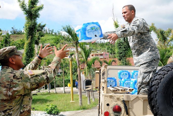
- Private philanthropic efforts before, during and after a disaster should complement, rather than duplicate federal governmental activities. Knowing where federal funds have been allocated is critical knowledge.
- Not all disasters result in Individual Assistance grants, meaning that there are vulnerable communities nationwide that are underinsured (or uninsured) and likely struggling mightily to rebuild after a disaster let alone prepare for a disaster. Private funders can use the information found in this data visualization to better understand where the gaps may be.
- Understanding where disasters have happened in the past can provide some evidence for where disasters will happen in the future. A visual tool like the one created by FEMA is a tremendous way for us to understand the domestic landscape.
- This is a great tool to help your community think about risk assessment and preparedness.
As with many areas of our work and life, knowledge is power. When thinking about preparedness and mitigation, along with immediate response and long term recovery, understanding how other actors play a role in the disaster management ecosystem is incredibly important.

Regine A. Webster
More like this
2017 Disasters Could Prompt Reconsideration of FEMA’s Role with States